BY KARA SHOEMAKER | April 20, 2021
The Conservation Blueprint launched in 2018, with the Santa Barbara Foundation (SBF) as the primary funder of the Atlas, awarding over a million dollars in support. This ongoing collaboration also includes The Land Trust for Santa Barbara County and the Cachuma Resource Conservation District.
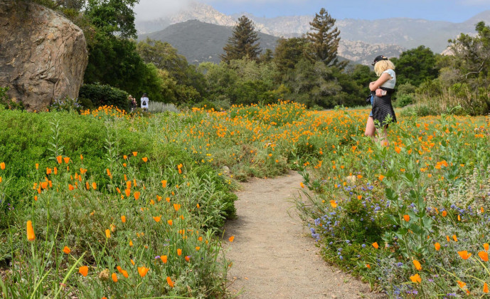
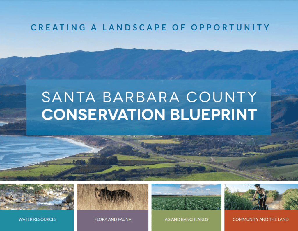
The Conservation Blueprint consists of an online Atlas, which houses nearly 300 datasets that can be viewed as maps to better understand land use and natural resources in the county. But why invest in a map for land use? How does this support our mission to strengthen Santa Barbara County?
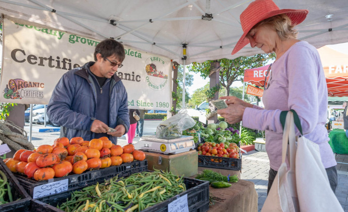
Since its launch, the Conservation Blueprint Atlas has been a vital tool for organizations across Santa Barbara County. It has been used for a diverse range of projects, addressing issues like climate change and fire preparedness, the future of agriculture in the region, food systems and security- issues that mirror the work and priorities of the Santa Barbara Foundation.
By investing in the Conservation Blueprint Atlas, we provide individuals, organizations, county government and other agencies with a valuable free resource to support projects that serve the diverse set of communities in our county.
We invite you to explore the Conservation Blueprint and Atlas by visiting: sbcblueprint.net. Sign up for a free Conservation Blueprint Atlas tutorial or workshop by visiting: sbcblueprint.net/workshops-tutorials.
“We want the Blueprint to get into the hands of our community members. Whether for history of land use, modeling climate change impacts, or creating map layers demonstrating how they envision the future of the county, the Blueprint is a wonderful tool that we encourage everyone to utilize,” said Rubayi Estes, Vice President, Programs at the Santa Barbara Foundation.
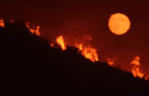 Regional Priority Plan for Fire Resilience & Forest Health
Q&A with Anna Olsen, Executive Director of the Cachuma Resource Conservation District.
Learn how the Cachuma Resource Conservation District’s (CRCD) Regional Priority Plan (RPP) project is using the Atlas to proactively address the ongoing threat of wildfires in Santa Barbara County. READ MORE
 Santa Barbara County Recreation Masterplan
A Q&A with Gina Sawaya, Environmental Analyst, John Wood Group PLC.
The Recreation Master Plan seeks to addresses inequities in park access and improve the amazing assets we already have. For example, we know communities in the northern part of the County have fewer park acres and amenities. We see that some of our neighborhoods with the highest proportions of children don’t have access to a neighborhood park. This project aims to rectify those inequities – it’s a once-in-a-generation opportunity to provide feedback and plan for the future. READ MORE
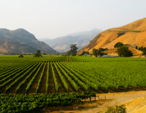 Rangeland Fallowing Study and Story Map
Q&A with the Matthew Shapero, Livestock & Range Advisor for Ventura and Santa Barbara Counties.
Learn how the Rangeland Fallowing Study and Story Map is sparking important community conversations and local policy as it relates to public safety from wildfire, agricultural land preservation, and sustainable land use practices. READ MORE
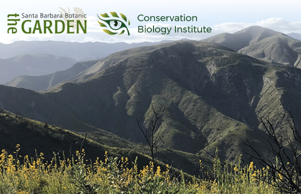 Fire & Watershed Recovery Project
A Q&A with Josie Lesage, Ph.D., Applied Ecologist Santa Barbara Botanic Garden
For this project, the Santa Barbara Botanic Garden and Conservation Biology Institute is working with partners and over 200 volunteers to map and prioritize potential fire recovery management in lands adjacent to the trails, prioritize need, develop action plans, and evaluate the effectiveness of utilizing citizen scientists as a core component of data collection methodology. READ MORE