In this study, we are focused specifically on the rangeland following that occurs on a parcel that has a portion of its land use changed to something else. This is what we refer to as Rangeland Fallowing. While it’s fairly easy to measure acres of direct conversion (aerial imagery shows a vineyard planted one year where it was previously grassland), it’s harder to understand where we’ve lost grazing on neighboring acres of a parcel because of management and land-use changes associated with the vineyard or cannabis expansion.
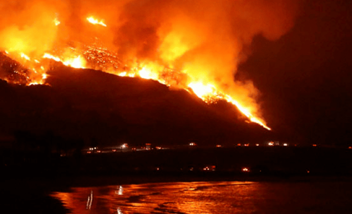
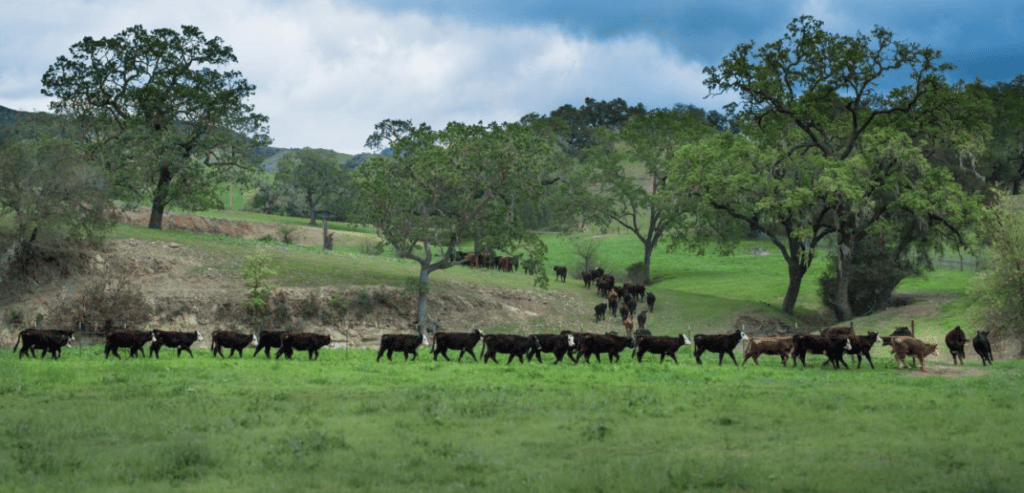
Ranching in Santa Barbara County is threatened by a host of factors, among them: increased land costs and/or lease rates; higher costs of production; lower prices at the market; and an increased regulatory burden, which in turn increases the costs of production. All of these self-reinforcing constraints combine to threaten the vibrancy and viability of ranching in the county. As the industry shrinks, production costs increase as support services such as the auction yard in Buellton have to close and ranchers have to go further afield for such services. And on top of all these other constraints, rangeland conversion and the loss of available grazing lands means that cattle producers have less available land to support their operations.
This project—pioneered by the Conservation Blueprint—will serve as the basis for future work; more specifically, researchers at the University of California, Berkeley, will be using this historical data to model future land use and land change scenarios. The hope is that this modeling effort will further inform important community conversations and local policy as it relates to public safety from wildfire, agricultural land preservation, and sustainable land use practices.
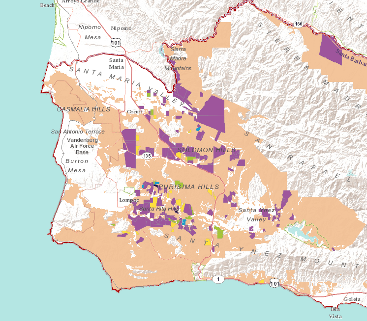
To bring attention to rangeland fallowing, local partners (University of California Cooperative Extension and the Conservation Blueprint Team) convened a panel of experts and ranchers to review data on land use and rangeland conversion through the use of the Santa Barbara County Conservation Blueprint Atlas. The resulting Rangeland Changes in Santa Barbara County story map of the Blueprint Atlas tells the story of a set of interactive maps, also on the Atlas. Together, they help our community work together and move toward a resilient and vibrant economy, ecology, and culture. This project serves an example of how the Conservation Blueprint’s Atlas can be used to understand, inform, and tackle difficult issues for our community.
The Atlas is a rich resource. The StoryMap currently available is a first-cut summary of spatial data associated with this project. For those interested in this project—and other spatial issues related to Santa Barbara County—we’d encourage you to visit the Atlas website and peruse the interactive maps that are associated with this StoryMap.